Rodgers Peak (12,552 ft)
My first ever Sierra Challenge and longest day hike yet! As far as Sierra peaks go, I thought Rodgers was lengthy, but not sloggy (cool ridge, mostly not loose, summit talus relatively uneventful), and overall a good day out!
>Stats and overview
- Trailhead: Rush Creek (“Gem Lake Trail” on goog maps), across from Silver Lake Campground in June Lake. (37.783236, -119.127061)
- route: Northeast ridge (class 2-3). Sticking to the ridge is more class 3, going low around the ridge is more class 2. But I think ultimately some class 3 moves must be made.
- Total distance: 28 miles with 8,314 ft gain. 22.3 mi trail and 5.7 mi cross-country.
- Hike in: 14 miles with 6,968 ft gain
- Hike out: 14 miles with 1,374 ft gain. Lots of ups and downs on the trail :')
- Time car-to-car: 15 hr 15 min. With 1.5 hour swim/nap at Marie Lakes :D and 50 min on the summit (!)
- Good for dogs? Mica would not be able to climb the NE ridge. Secor says the north face is class 2, but I could not easily see that route and am glad I didn’t bring Mica because she’d probably trundle the heck out of that slope.
>Trip Report
After going up Castle Peak and friends two days before, I was feeling good about my hip and ready to join my first ever Sierra Challenge! Since hiking Mount Davis last year and catching a glimpse of the peaks past Ritter and Banner, I was keen to go to the more remote parts of the Sierra, and Rodgers was nestled nicely between the Ritter Range and Yosemite, two places I like a lot.
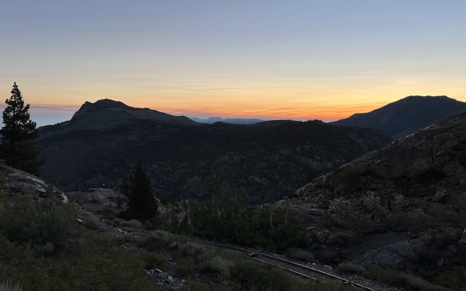
That morning was unexpectedly chilly (low 40s F?). In combination with walking briskly up the trail, and yarding on my hiking poles which cut the circulation from my hands, I had a couple minutes on the verge of screaming barfies. Painful! Maybe liner gloves next time.
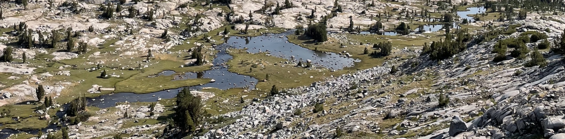
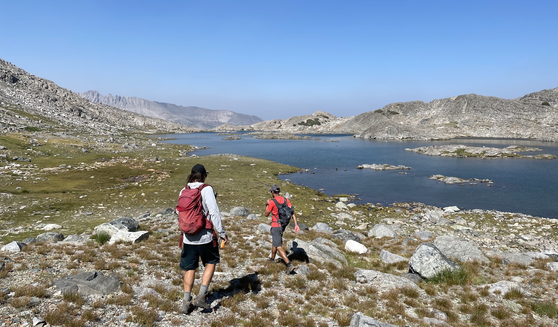
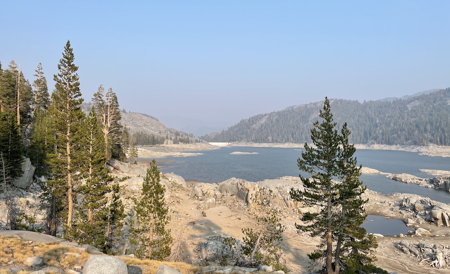
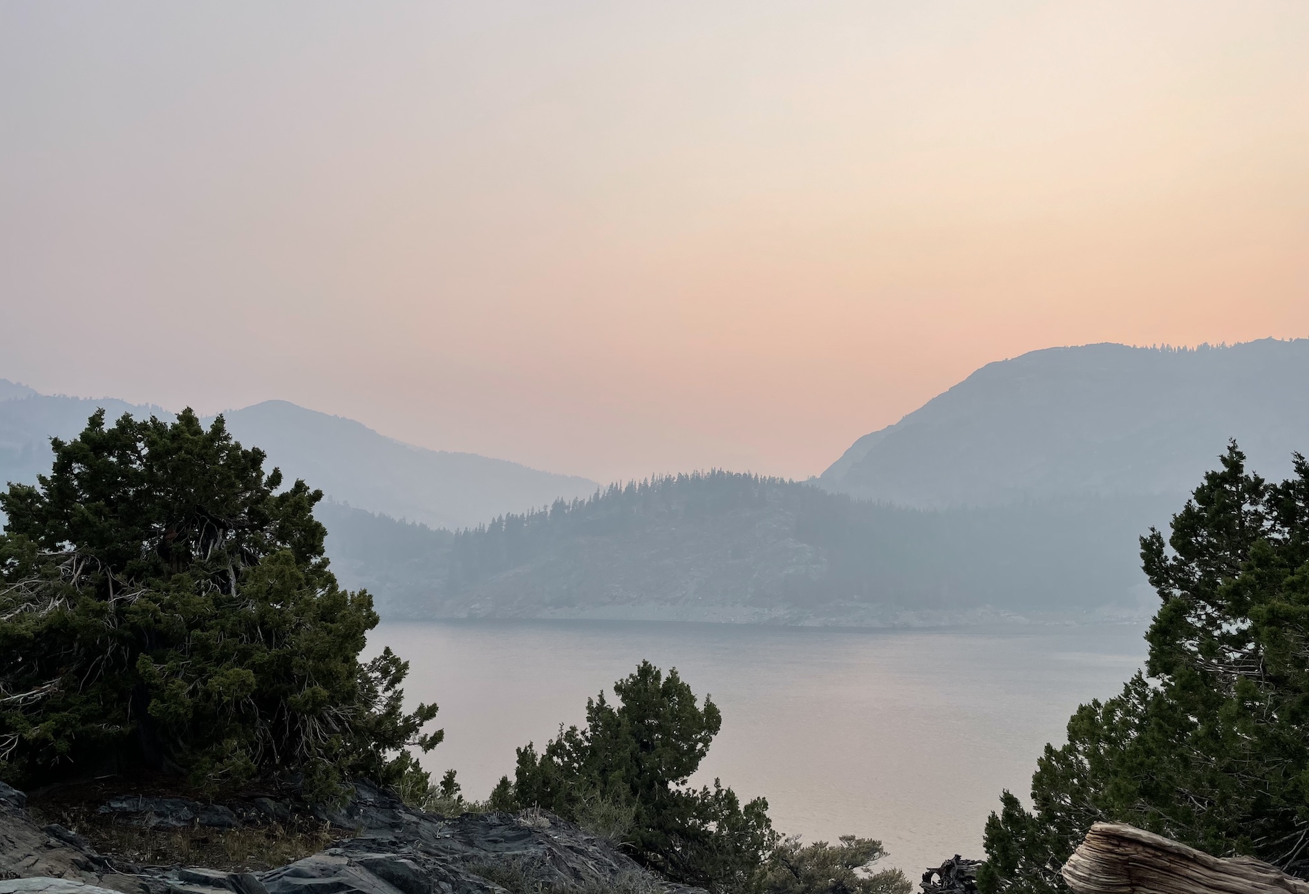
I was suprised to learn that all these lakes above June are dammed!
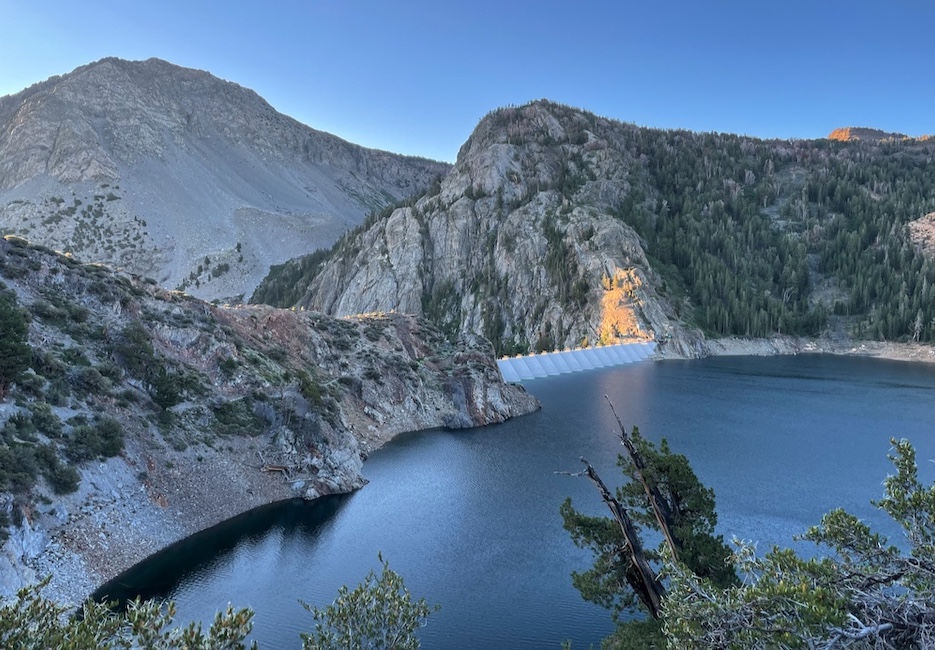
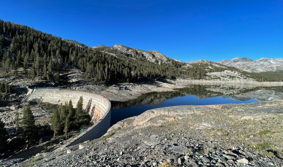
Waugh Lake, also also dammed! Not much water left here. My housemate who climbed Rodgers 2.5 weeks later said it was completely dry.
I spent a brief couple of miliseconds crossing the JMT, where a ranger who saw me in my getup and said “have a nice run!”.
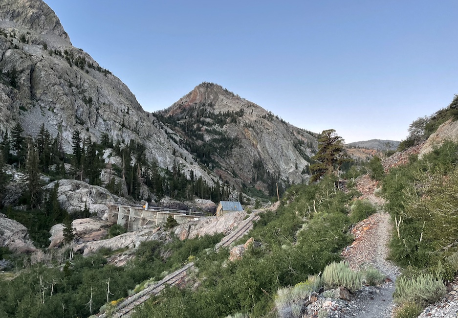
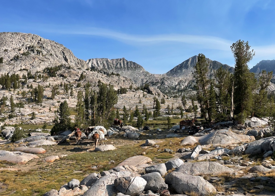
I passed a mule team at Rush Creek, the namesake of the trailhead, and one of the guides told me they had an entire kitchen packed up for their clients.
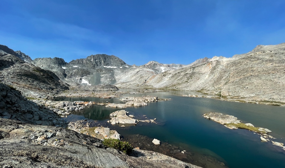
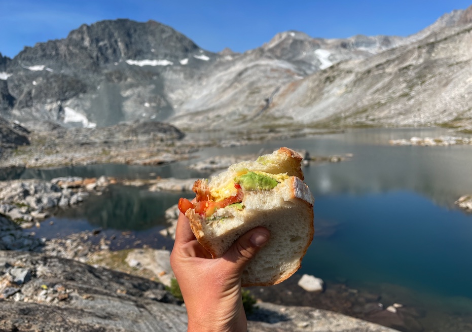
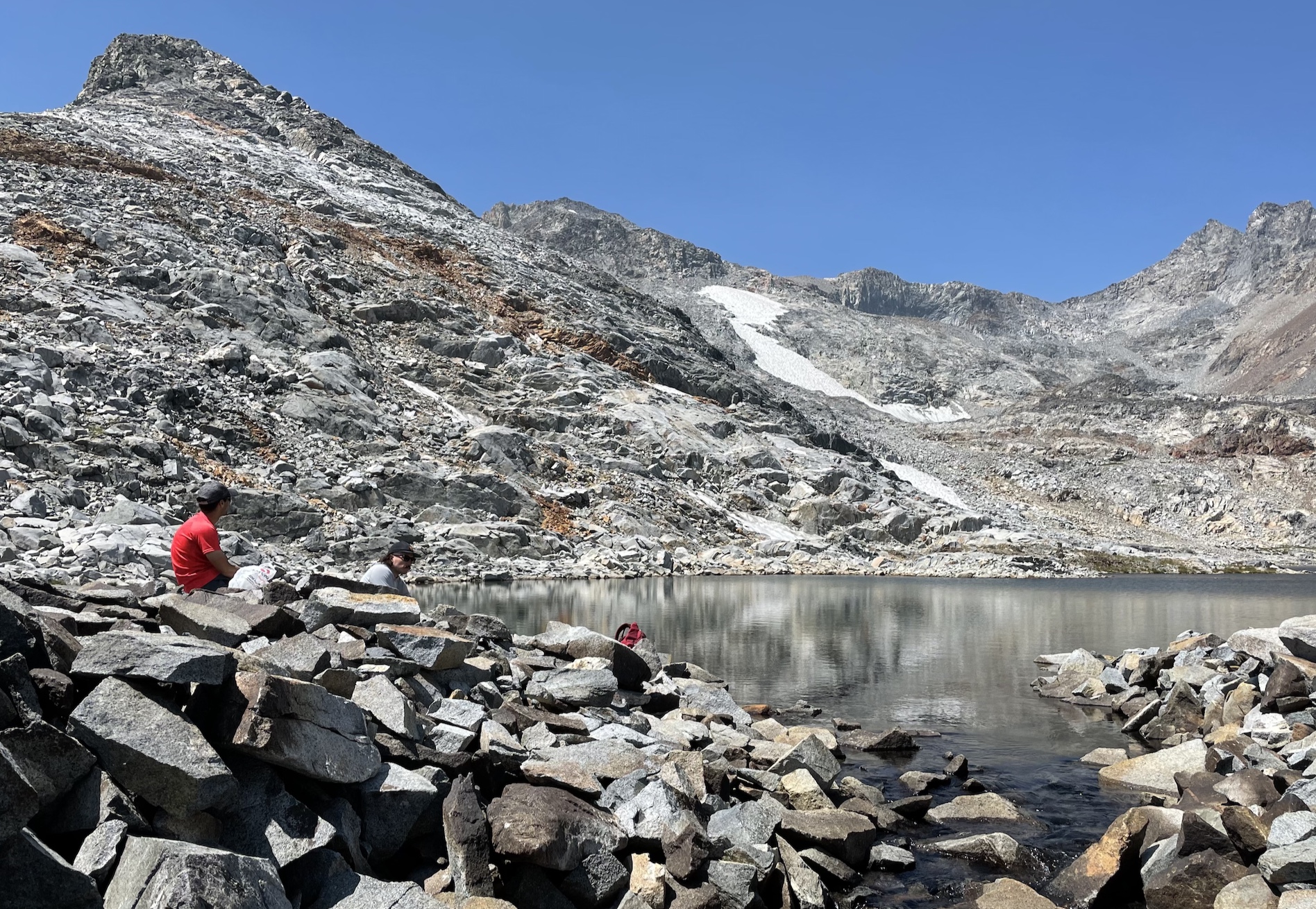
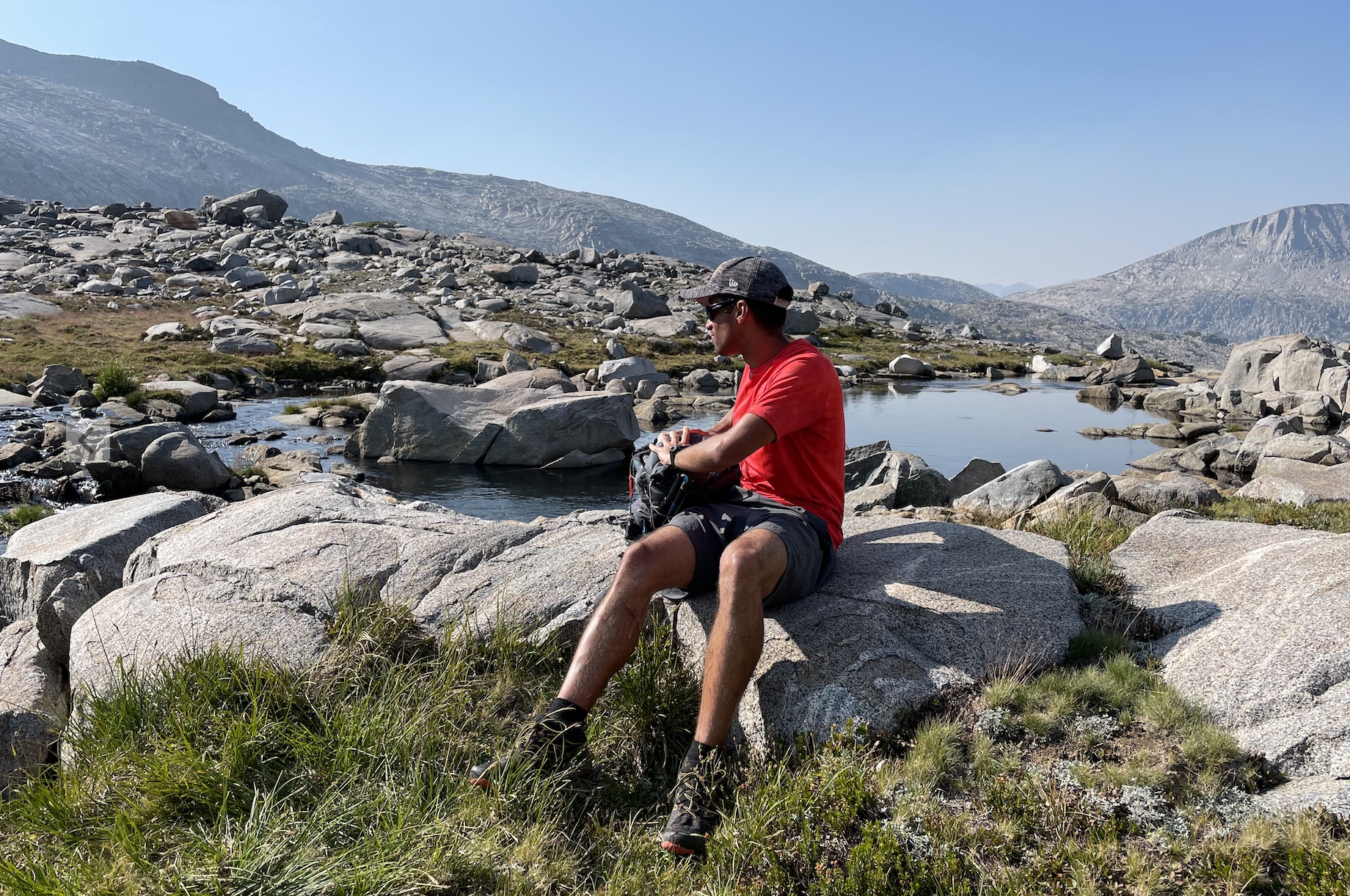
After 4 hours 15 min I was at the first Marie Lake, where the trail tapers off. Rafee said he’d be there at 10am, so I was glad to have half an hour to splash around the lake, lay in the sun to dry off, and eat my first lunch :D
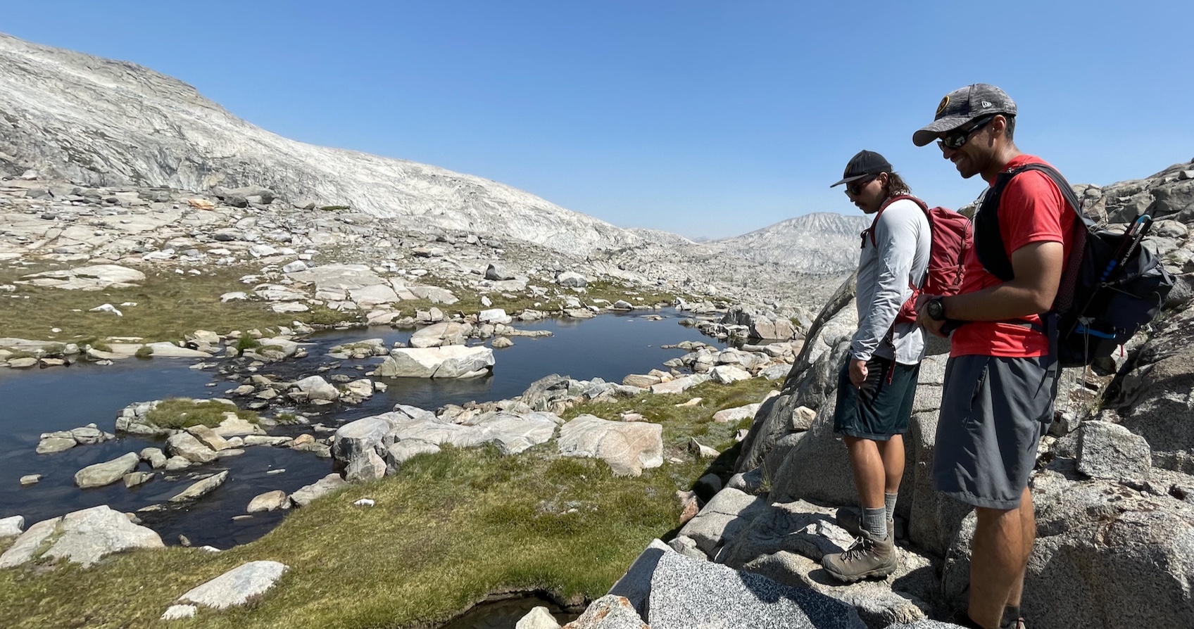
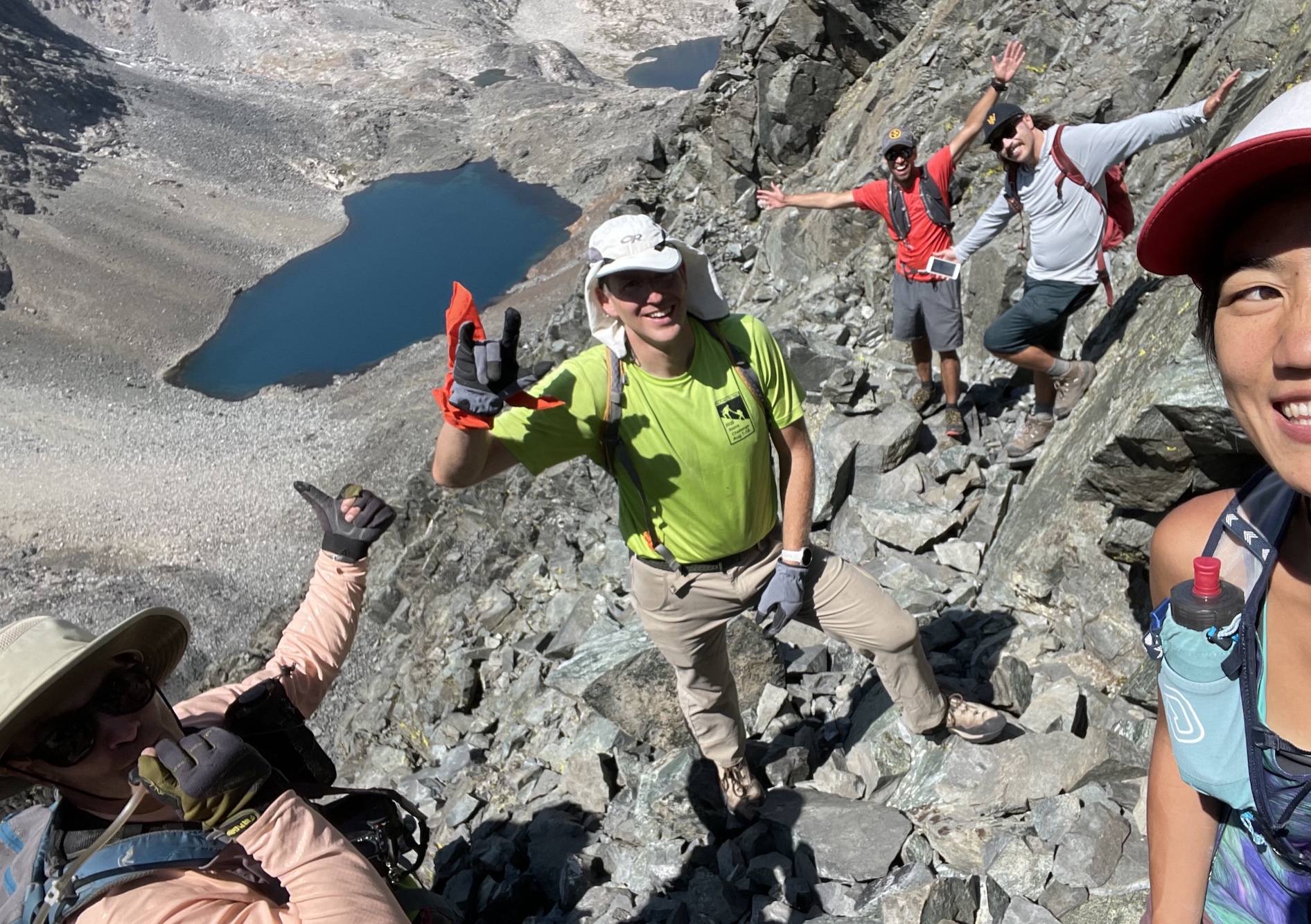
At 10:30, half an hour past our meeting time, Rafee is nowhere to be seen. I’m low key wondering if he’d somehow passed me without either of us noticing. Then it’s 11am, an hour past our meeting time, and I’m wondering if Rafee is ok. I notice I have a tiny bit of cell signal, and I text my housemates that I was thinking about turning back because Rafee is missing. My housemate Yelly checks Rafee’s inreach tracks and tells me that he’s on his way, so I nap on a warm slab. Soon enough, Rafee arrives at the lake! He has a friend with him.
We circle the lake counterclockwise and head to upper Marie Lakes along a stream. With company, my stoke for a long dayhike returns and I’m feeling energised!
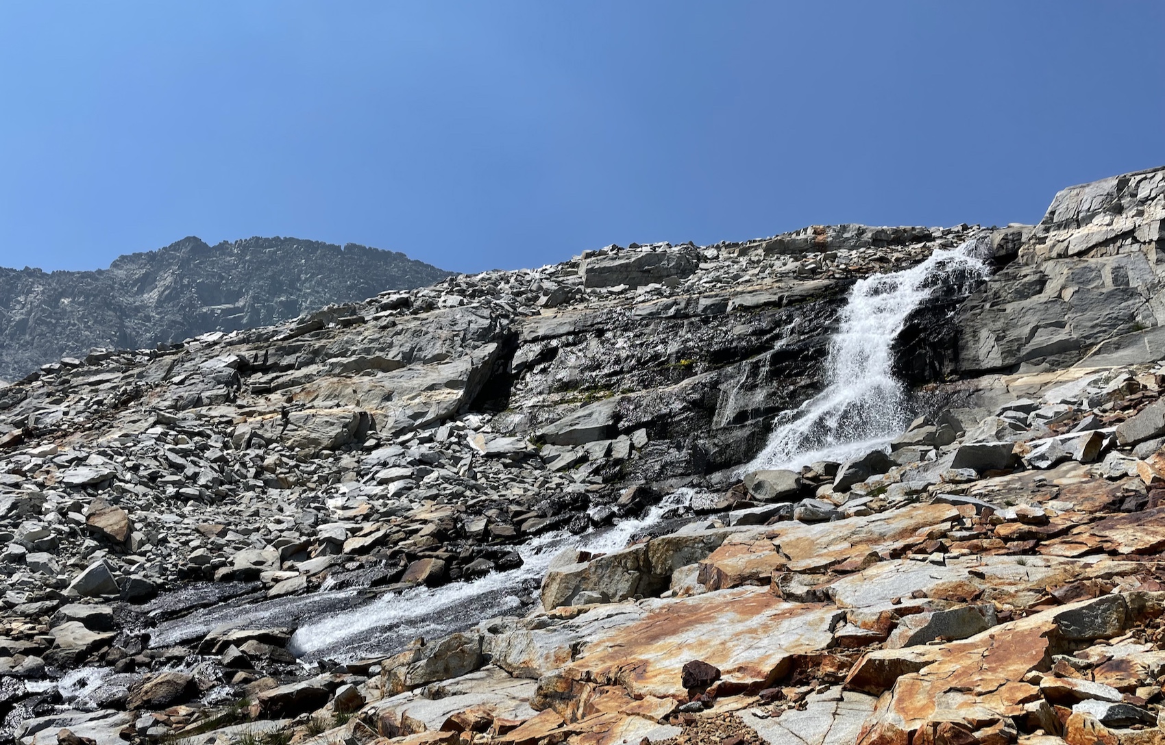
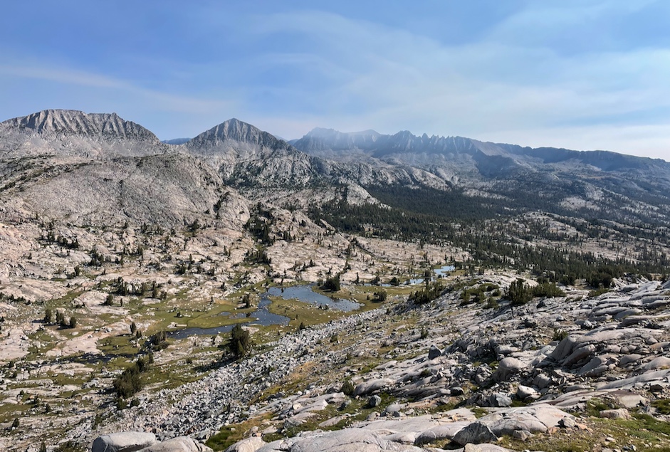
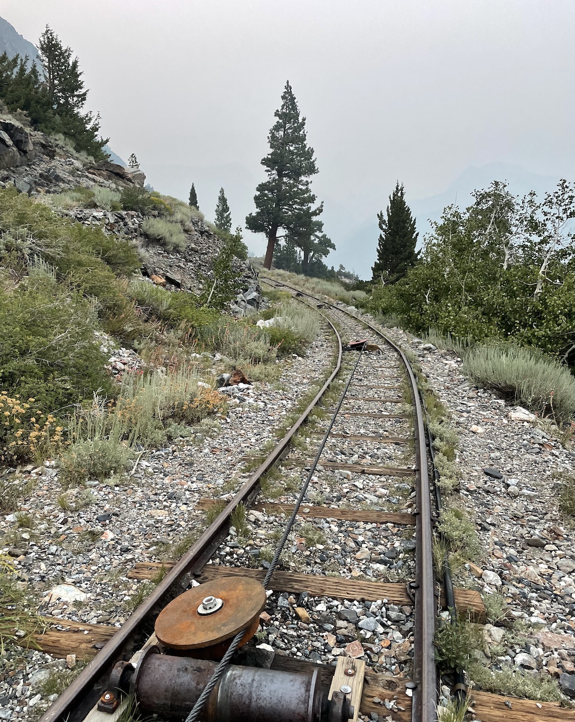
The next part is the most involved bit of backcountry. There’s some slab and talus slopes to a ridge, and eventually this sideways traversal of a loose scree and talus slope:
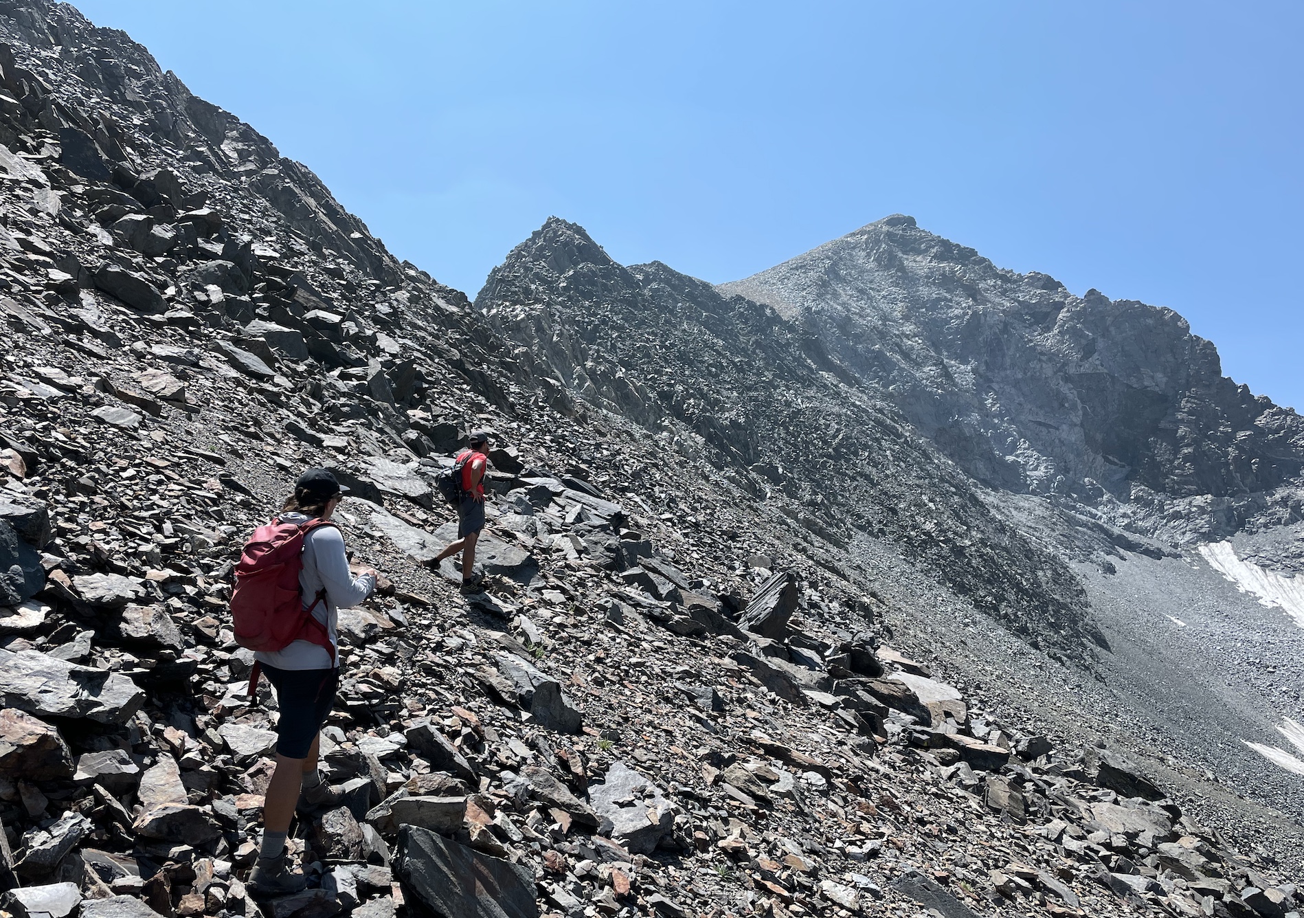
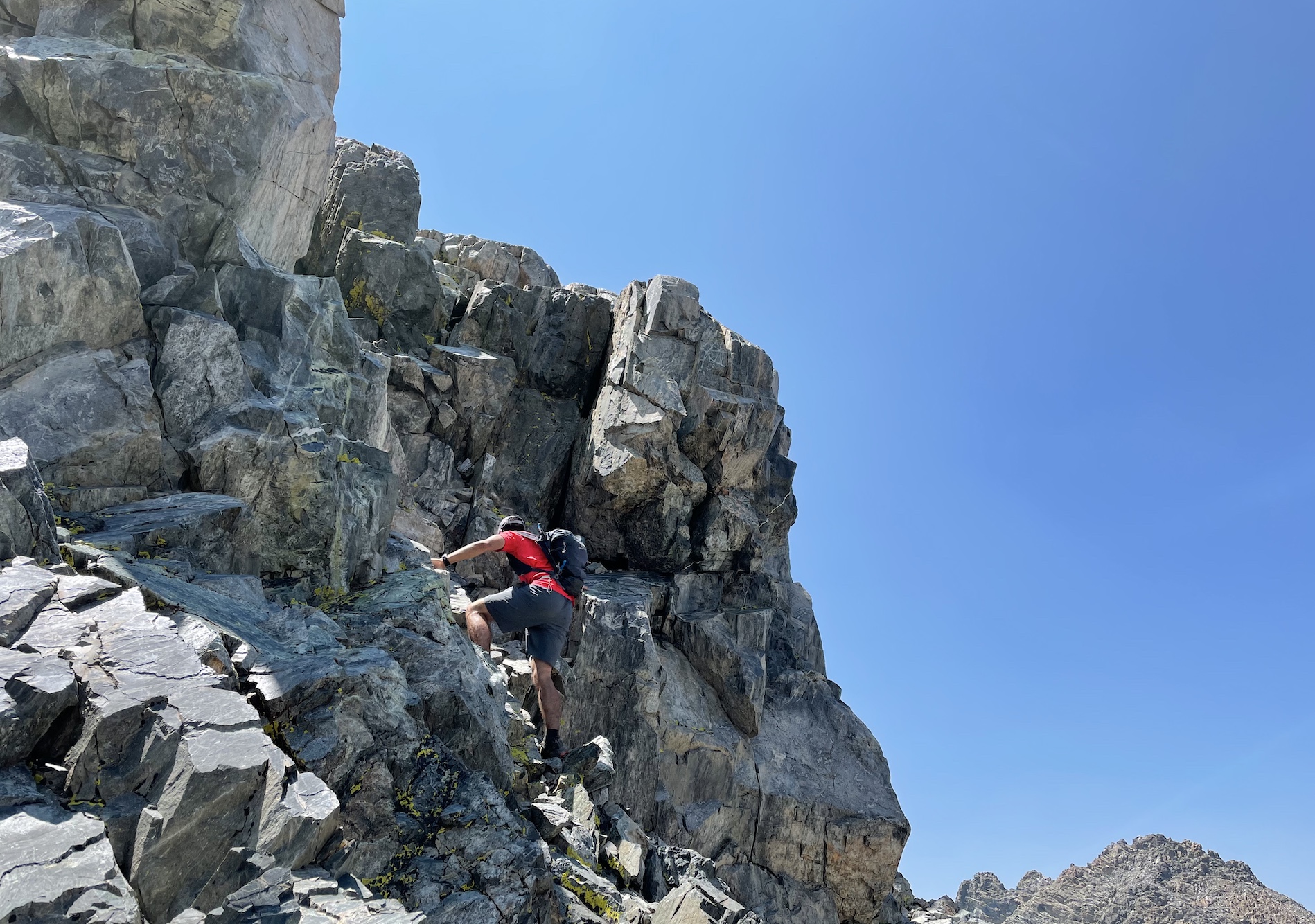
On the way up, I stick to the ridge, which is up to class 3 with cool exposure at times. This could be kept mostly class 2 and goes slightly faster by continuing to conture lower on the slopes instead, which is how I did it on the way down. Overall I felt that it’s a lot more straightforward and less tedius than other peaks. It’s not great for dogs, so I’m glad Mica didn’t come along this time.
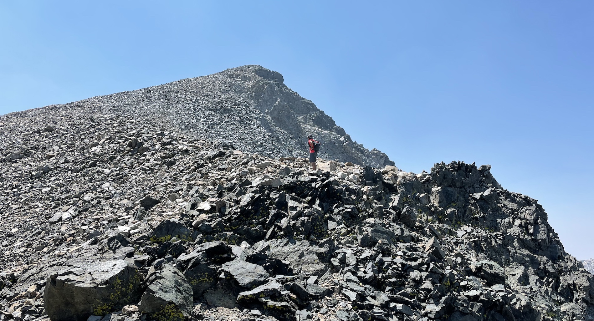
I reach the summit around 13:30, where I realise there’s a lot more smoke than when I started this morning.
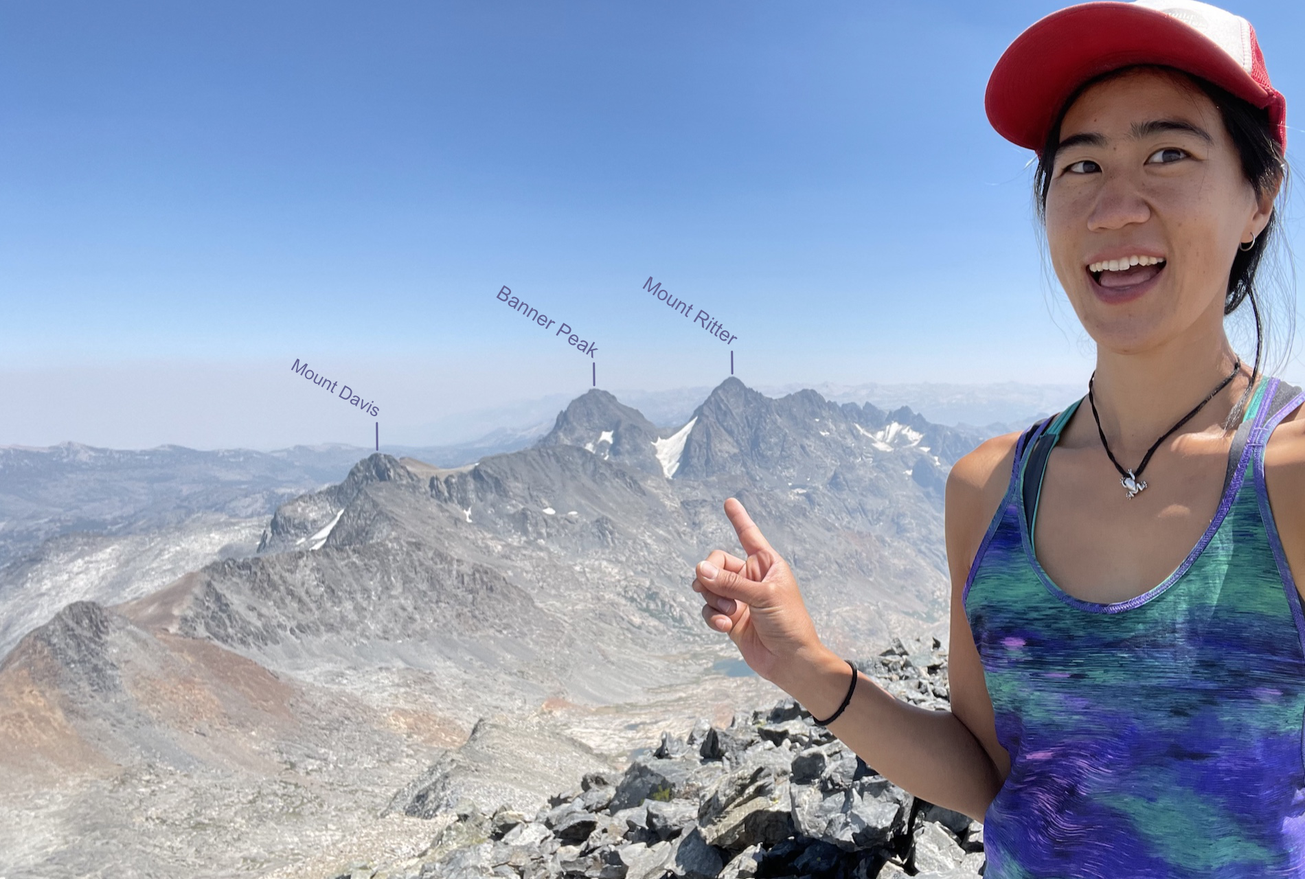
Summit selfie southeast, with Ritter and Banner! and my nemesis, Mount Davis. I could barely make out the snow Y-shape on Red Slate Mountain through the smoke.
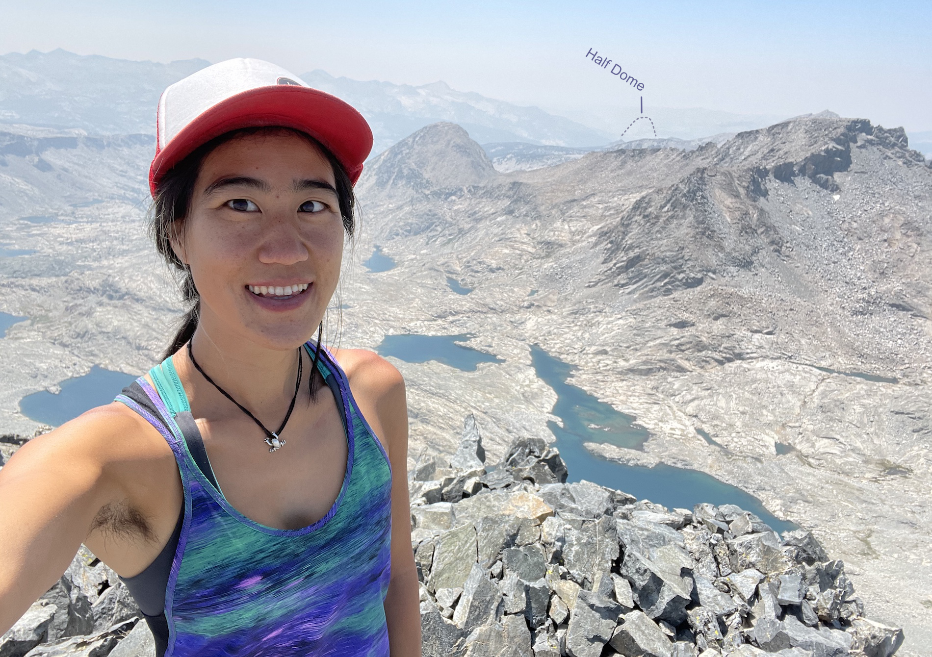
It’s hard to wrap my head around, but Yosemite Valley is somehow directly west of us, and I could see straight to Half Dome.
I chill at the top snacking and reading the summit register for a pretty long time, maybe 50 minutes, which is bold consider how much hiking there was left to do! There were only a handful of parties to sign this year, and the notebook had dates back to the 70s.
I felt like the descent to Marie Lakes went pretty quickly and uneventfully, except for one loose block I pulled out that hit my finger and made it bleed. Scrambling is no joke.
The conversation was getting kind of bro-y and I was longing for solitude, so I jogged ahead when we hit the trail. I descended into a dense smog.
There were a lot of small ups and downs along the lakes, which I’d forgotten about, and I really felt it while jogging out. I startled a resting backpacker at a log crossing, who was surprised dayhikers were still out so late, asking if I had a headlamp. I did have one! but the goal was not to use it (again) :P
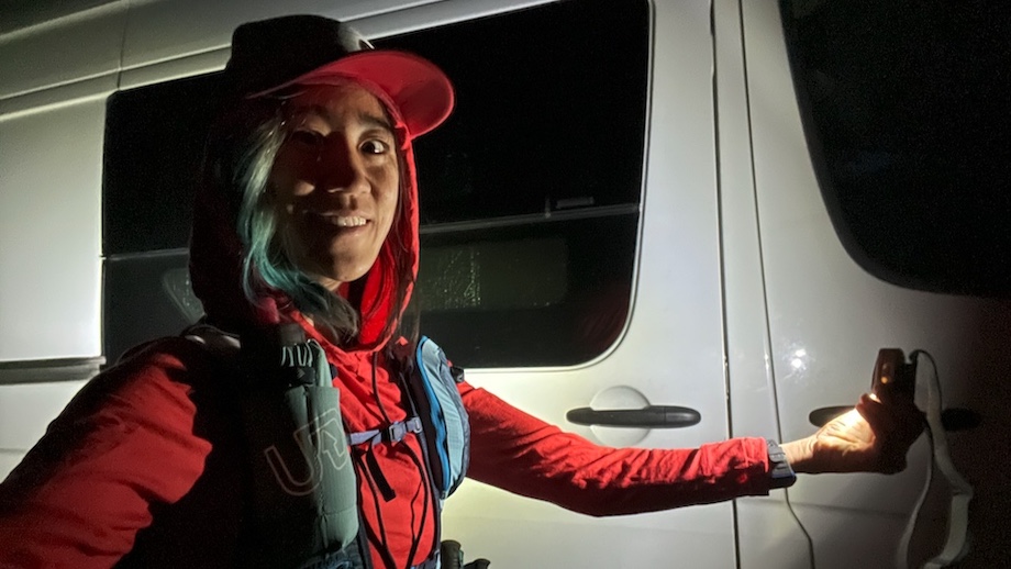
Finally I reached the van at nearly 20:30, right as it got too dark to see the path. I was really nauseous and could barely sit up, my skin was flushed like I had a fever, and I felt hot and cold at the same time. My first thought was did I get COVID?? and then I suspected the 9 mile jog in bad air. I pulled my face close to the filtered van fans to breathe the good stuff.
I was actually barely holding it together those last couple of miles, but the thought of 5 pints of ice cream and leftover curry kept me going. Now I felt too sick to enjoy ice cream, but I heated up the curry and forced myself to eat. I was in no condition to drive, so I slept where I was parked, just a half hour from my house. The next morning I drove out at an equally smokey sunrise and was really shocked to see people on the streets running and cycling as if nothing was wrong. The smoke remained bad through that week, so this was my first and last Sierra Challenge for the year.
Comments
No comments at the moment. Hey, you could write one \o/