Mount Baldwin (12,598ft)
A Mammoth area mountain that hikes easily in a day, great for dogs, plentiful swimming opportunity! Probably great colors in the fall (~October).
- Trailhead: Convict Lake Marina
- Route: West slope, class 2. 17.5mi, 5380ft vert, 3200ft of which is cross-country
- (5h 30min to summit) + (4h 45min down) = 10h 15min total. Extremely unrushed day with gratuitous swimming and frog-gazing breaks
- North slopes approach to Bright Dot Lake was not nice for humans, crumbly and dirty and borderline class 3. Descended south out of Bright Dot Lake, slightly longer but much better.
- Gaitors nice but not mandatory. Summit slopes were a lot less sandy than anticipated, pretty pleasant, use trail all the way up from Bright Dot Lake.
- On the summit slope, stick to the left side (cliffs out to the right)
Convict Lake to Bright Dot Lake, then Baldwin via west slopes. gpx.
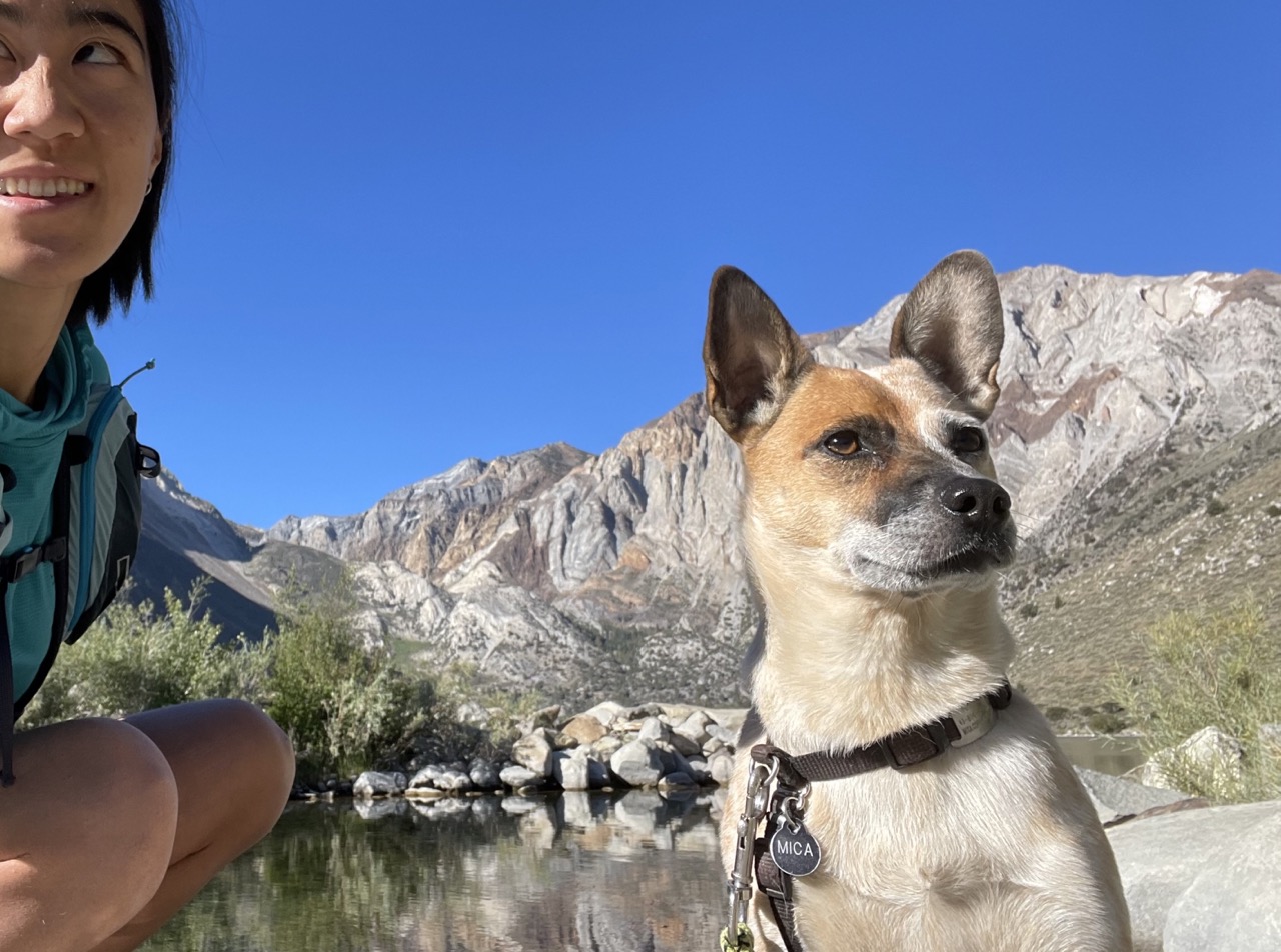
It has been a slow summer for me, I’ve mostly been mountain biking and sleeping the days away on the sunny balcony. But it seemed like this morning, daiyi woke up with the sudden notion to climb a mountain. So after breakfast, we drove 15 minutes from Mammoth to Convict Lake, and it was nearly 9am when we started hiking!
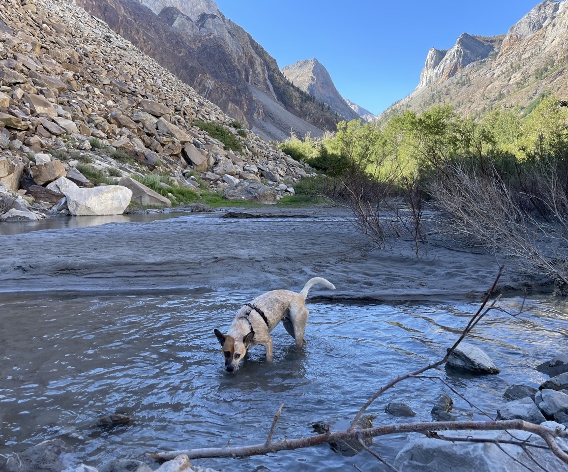
The problem with starting late is that it is hot. I immediately jumped in the water when the trail met back up with Convict Creek after the exposed ascent out of Convict Lake.
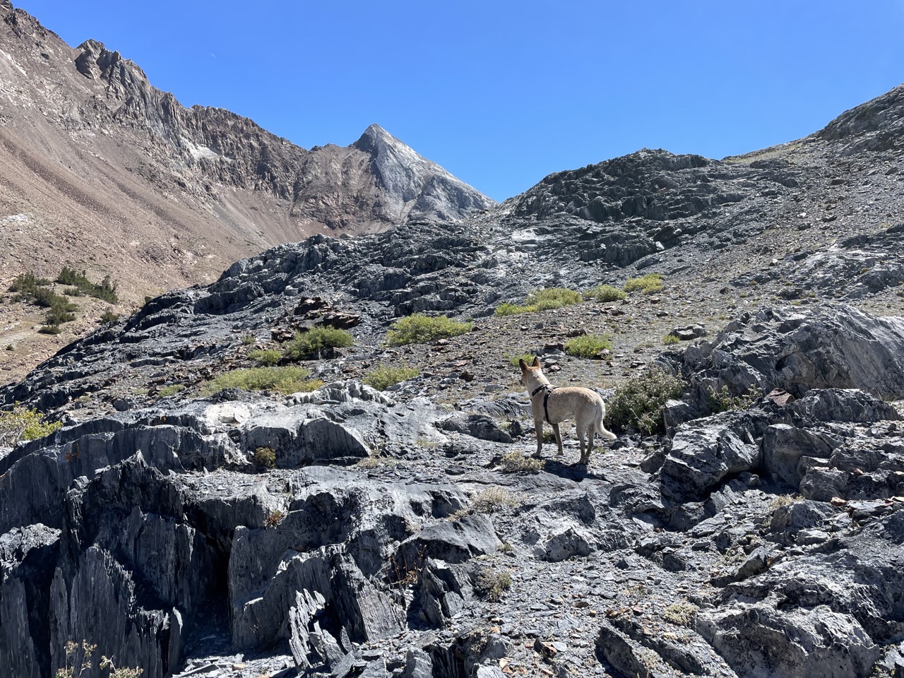
We tried the north slopes approach to Bright Dot Lake, despite being discouraged by Secor, because there’s other trip reports about it. We first went up the switchbacks a bit to gain elevation on trail before cutting cross-country northeast towards the streams/drainages. Cutting over was awful and bushwhacky. And then the drainages were crumbly and dirty, steep, and slippery too. Comically easy for dogs to scramble, bad for big-footed humans. Not fun, not recommended, maybe even dangerous if you’re not used to bushwhacking/third class dirt.
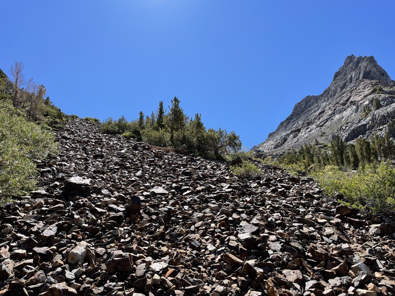
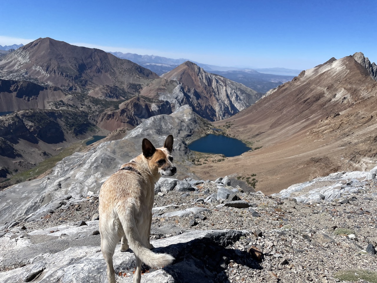
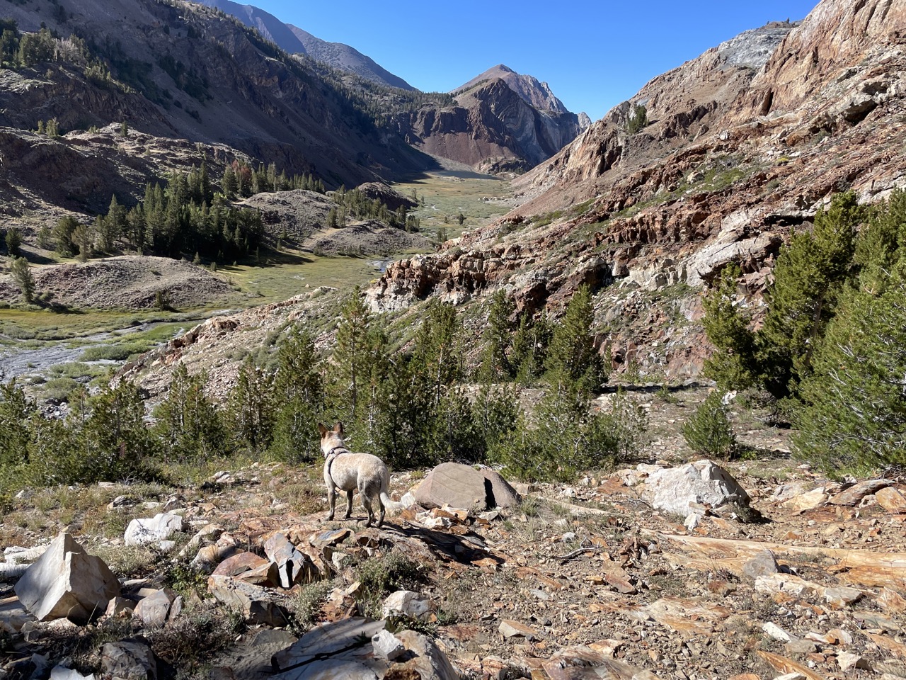
Easier cross-country brings a view of Baldwin!
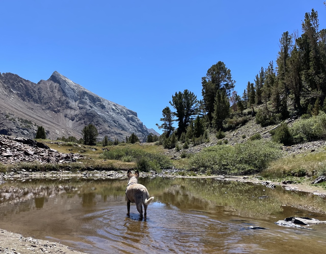
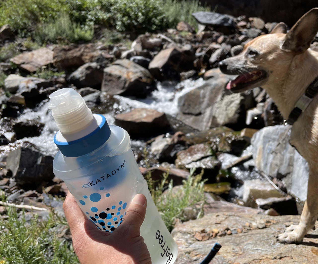
Bright Dot Lake is crisp and clear, surprisingly no one was fishing there already.
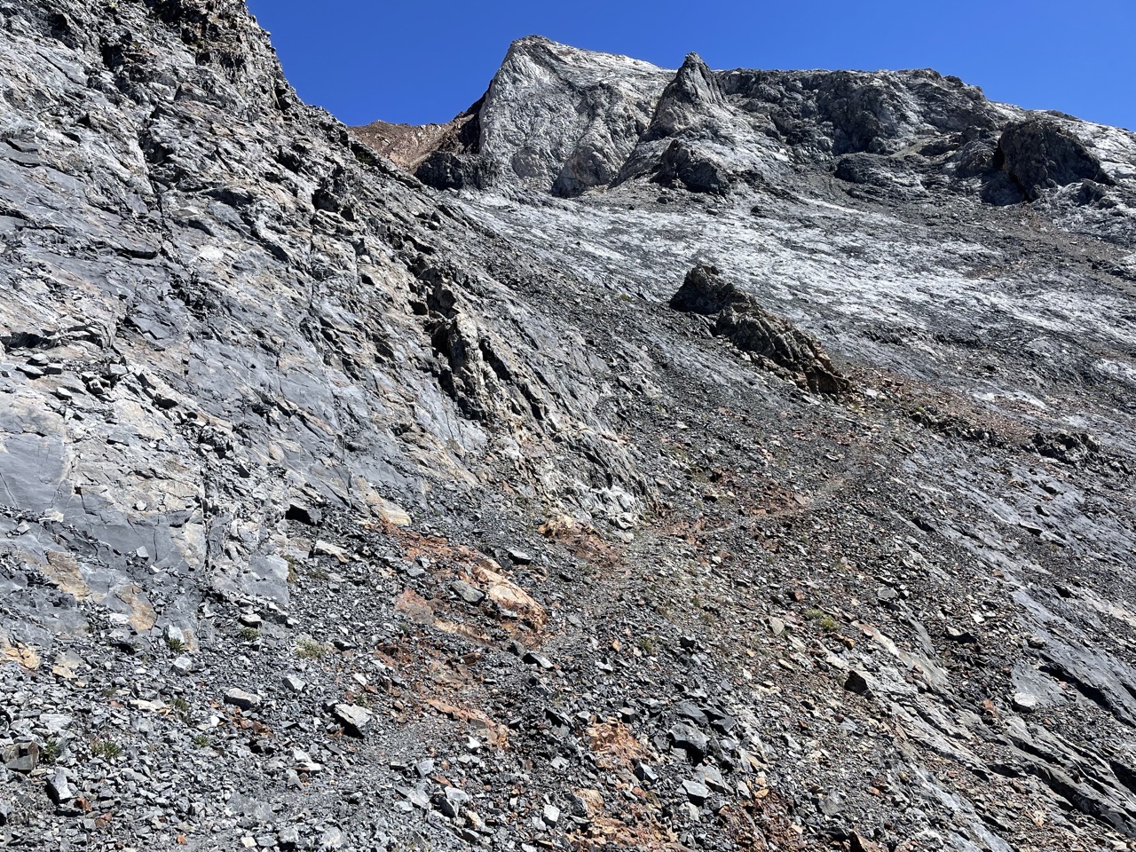
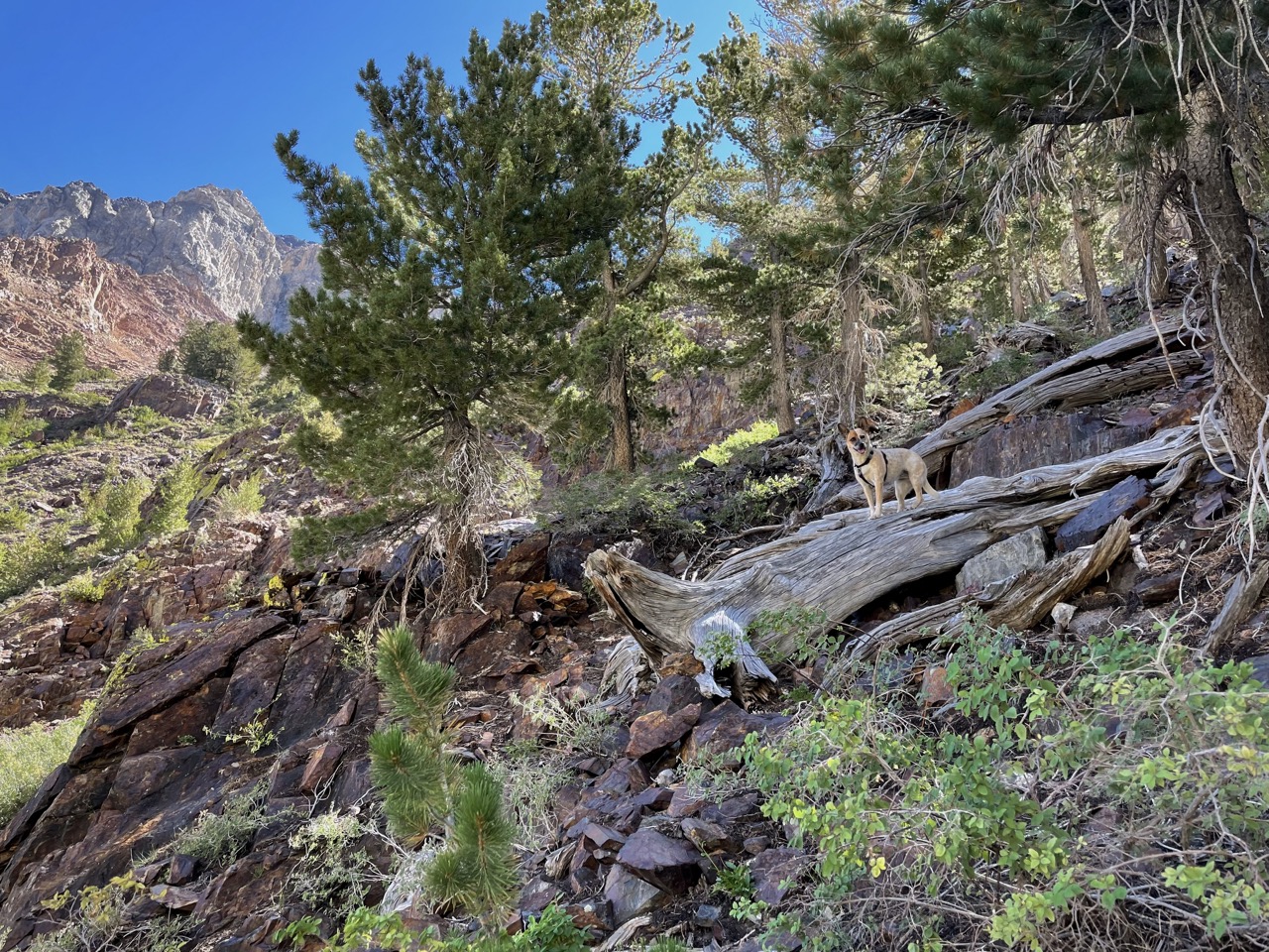
We were surprised to run into a great use trail that pretty much goes all the way to the summit.
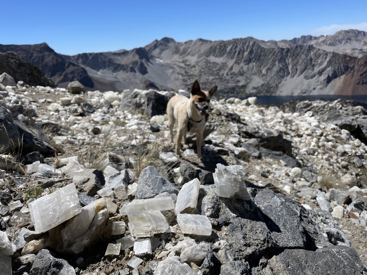
Partway up are the crystals mentioned by Secor, who says it was a mine (no signs of human structures though).
Aside from short sections of steep dirt, the route is pretty straightforward as far as Sierra peaks go. There’s trip reports of sloggy sand at the top, but it seemed packed pretty hard and honestly not as bad as the sand skiing of e.g. the Emerson descent or the Lone Pine Peak descent.
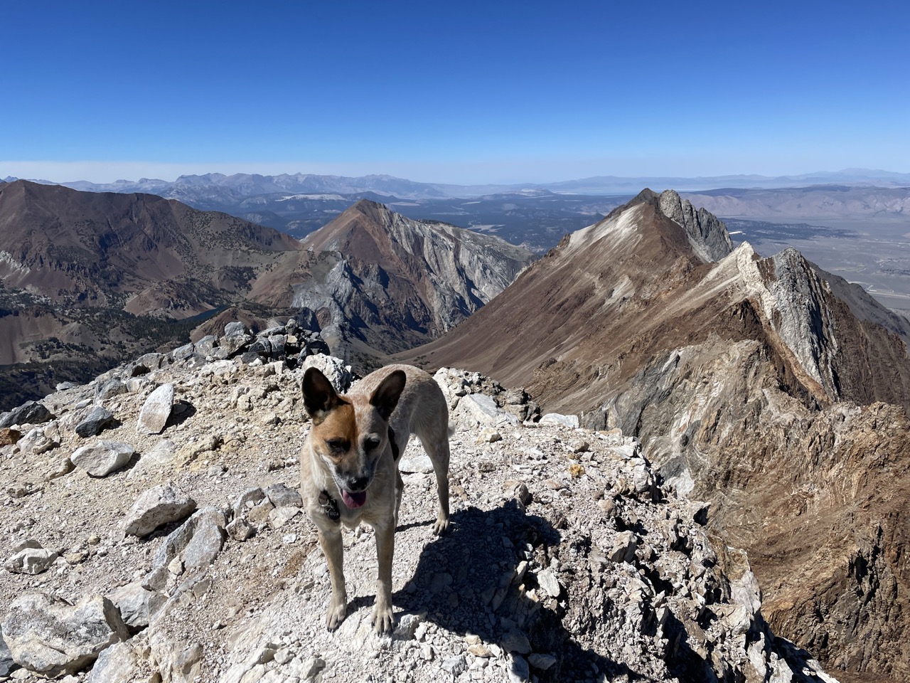
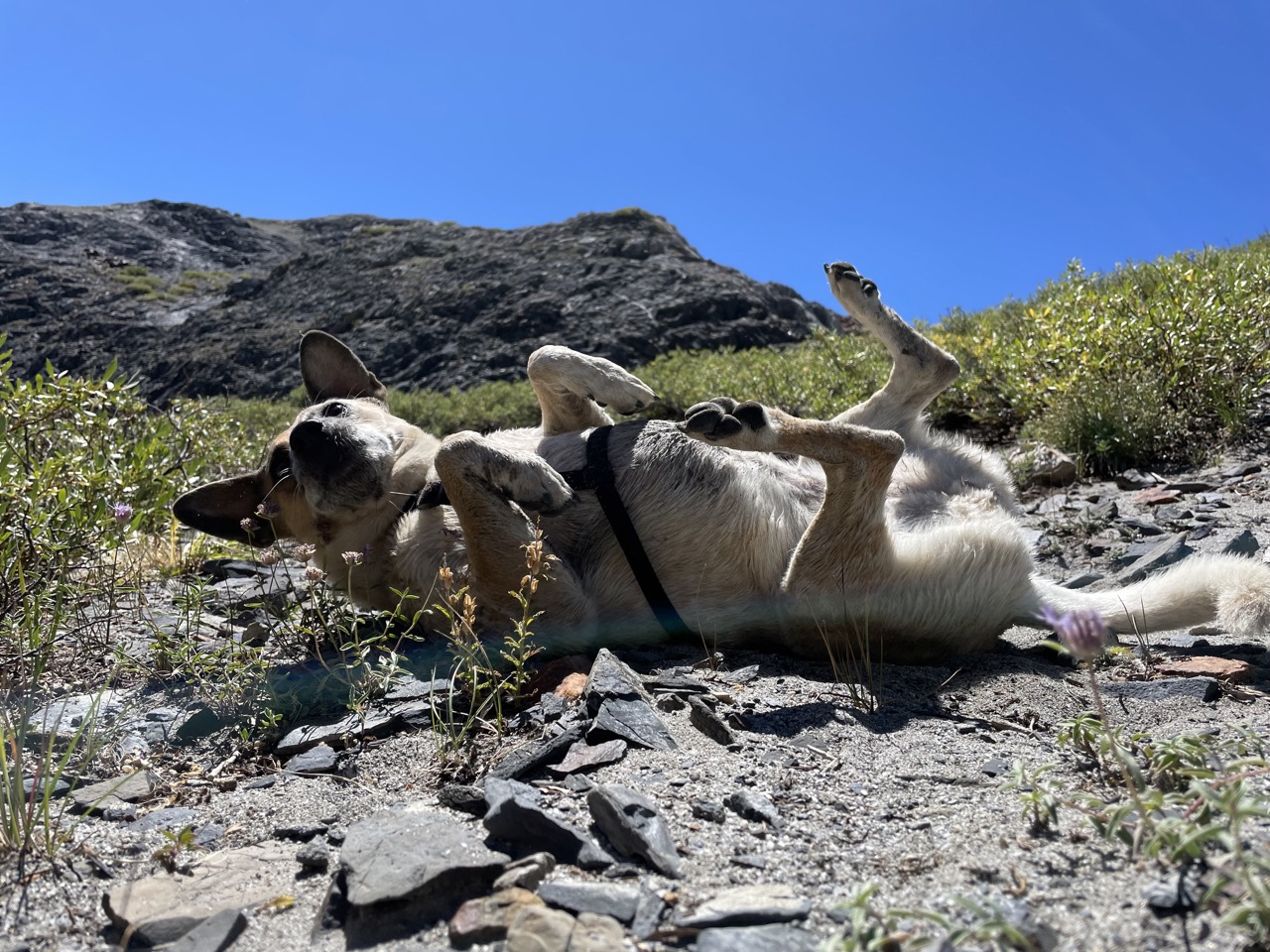
We hang out on the summit, I rest in my donut form, and then we descend.
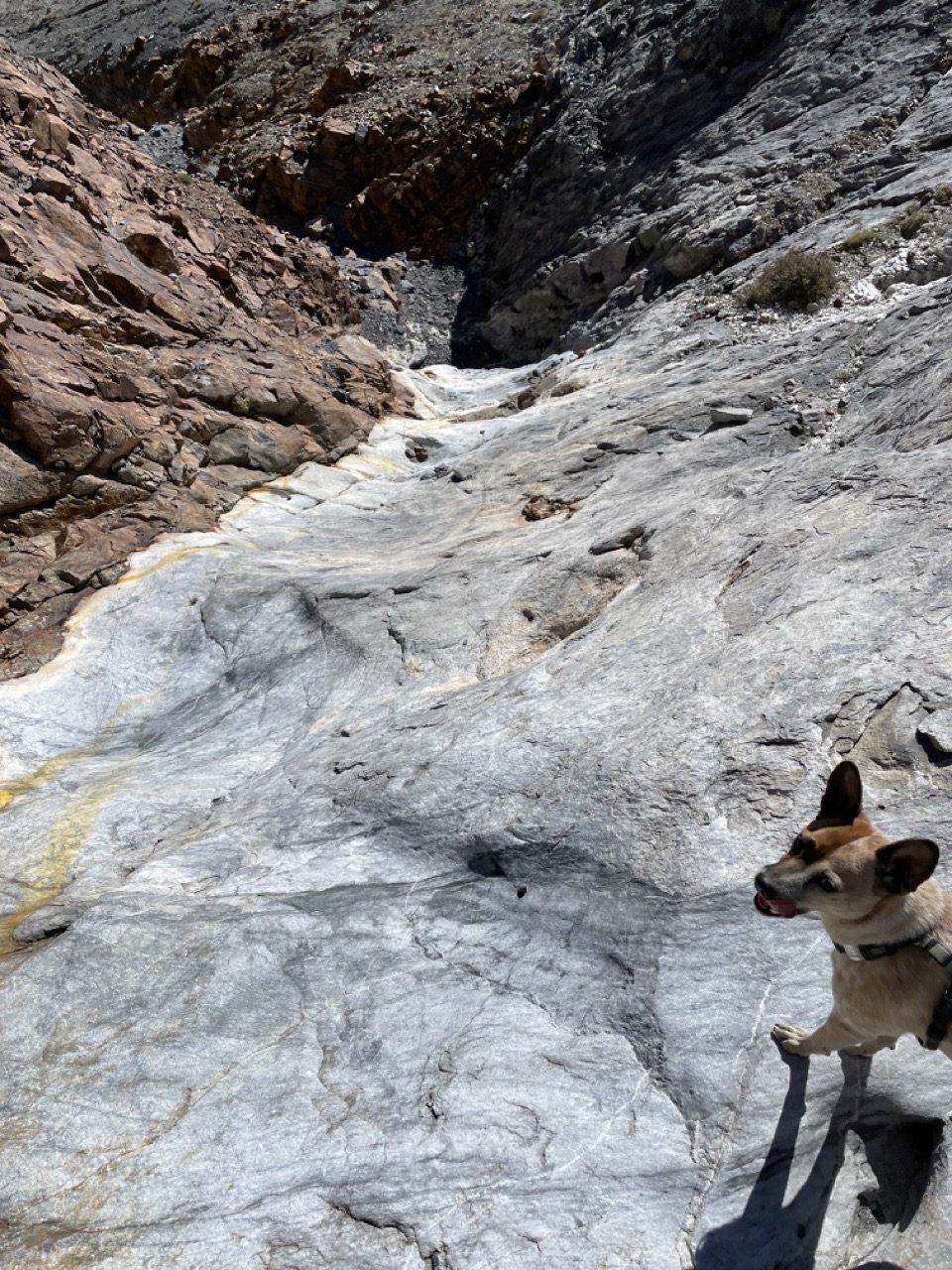
On the way down we try the Secor recommended access to Bright Dot Lake, which is to aim for the meadows 0.5 miles south of Mildred Lake. There’s some cairns, which lead to a choice of steep dirt slopes, or steep marble dry waterfall. The waterfall is pretty and looks fun, and is easy for climbing-trained humans to descend, but it doesn’t look great for ascending (maybe pick the dirt slopes for the way up).
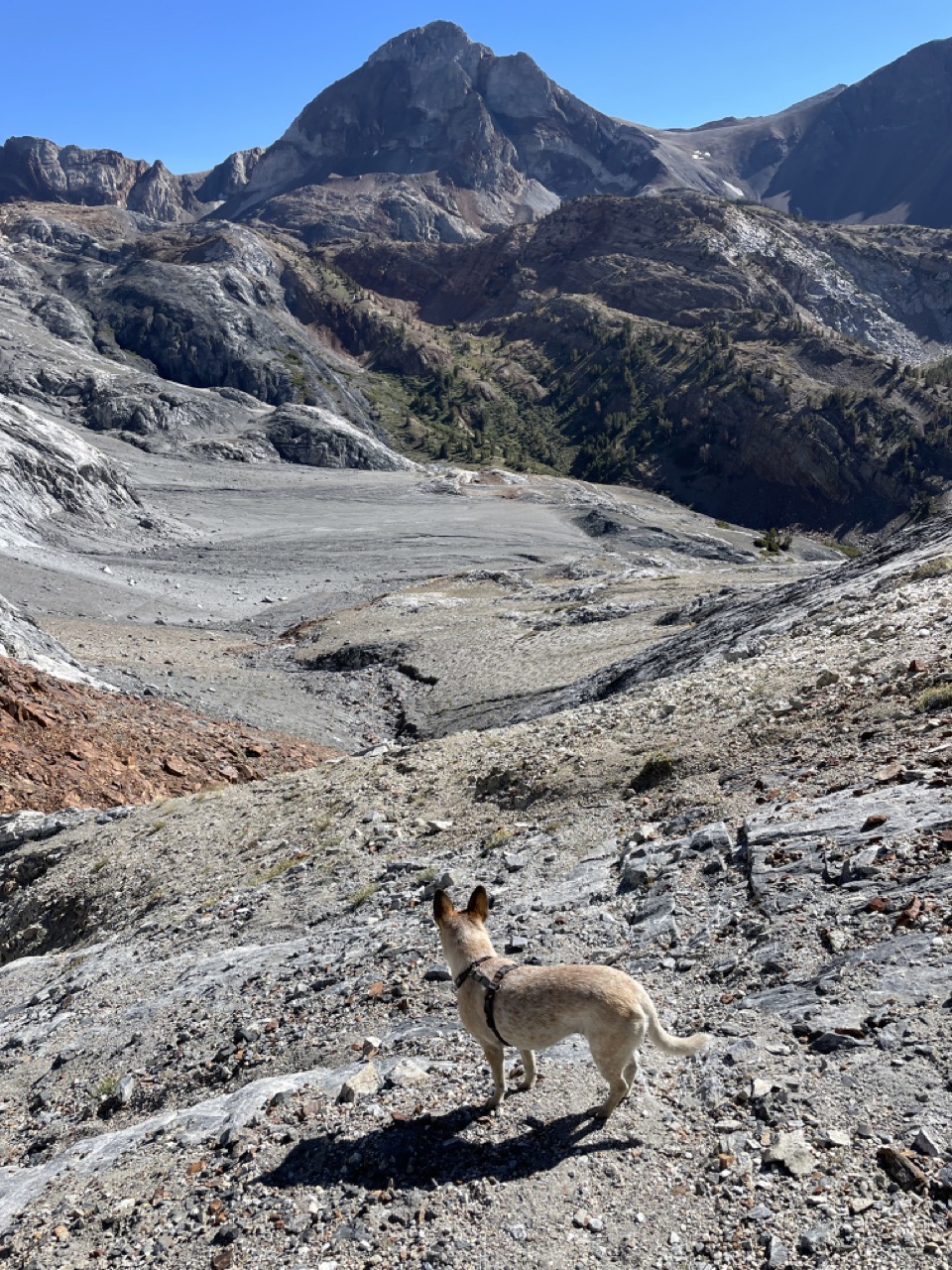
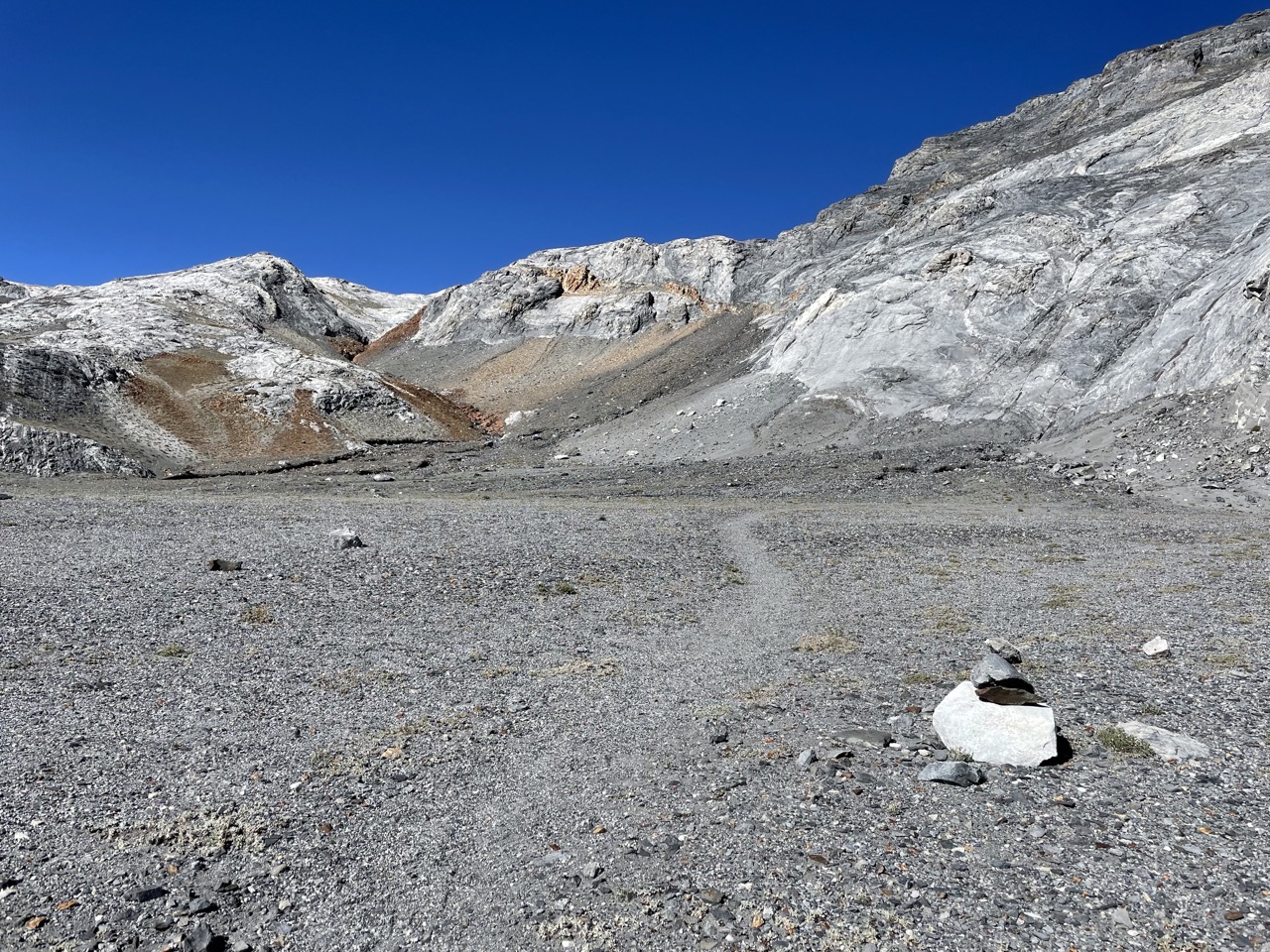
The slopes open up to a flat, dark plain:
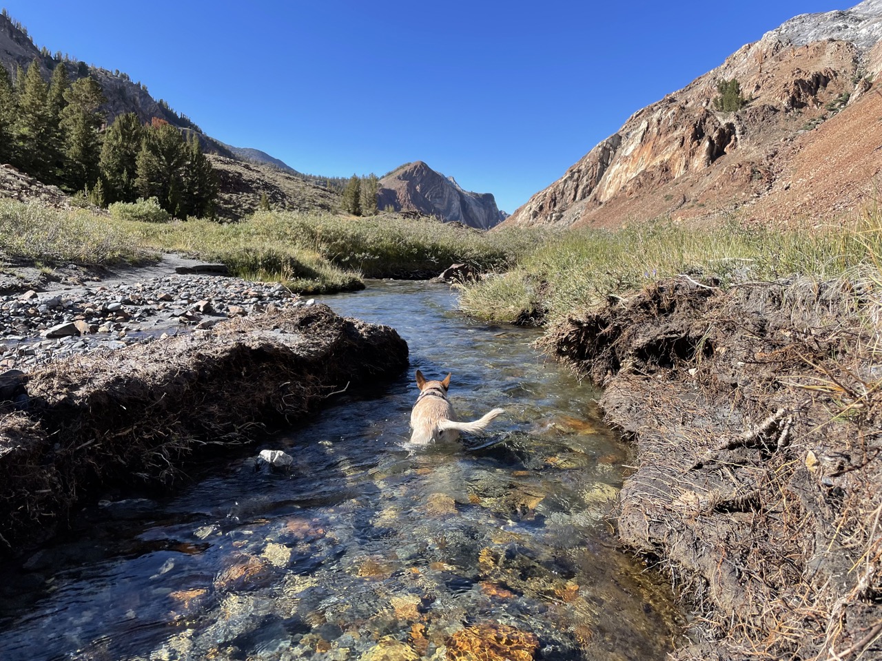
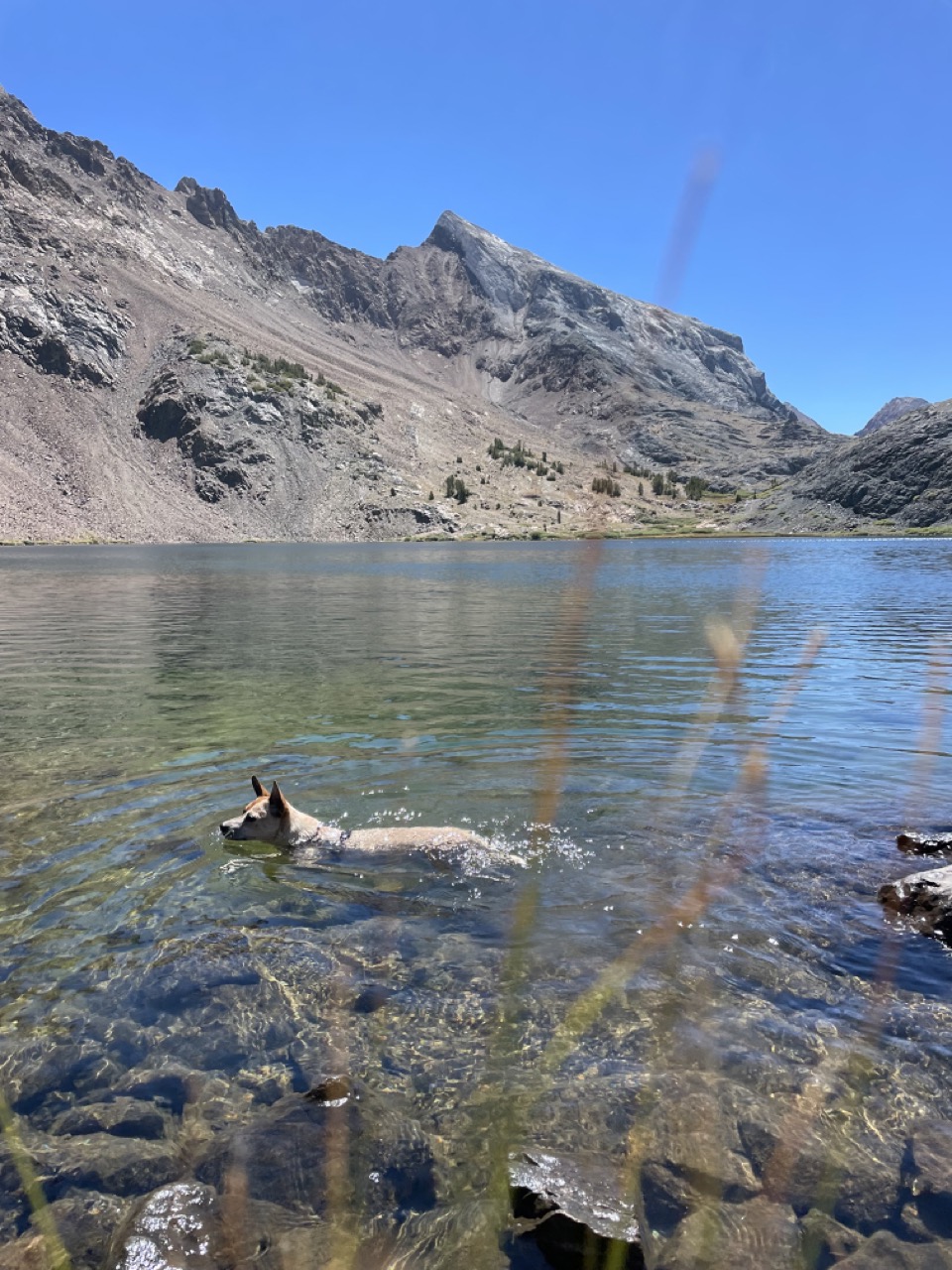
Once we got to the meadow, there’s a use trail on the right side (east) that goes to Mildred Lake. Mildred Lake is beautiful and clear, a great opportunity for a swim (washing off the grime before the chill maintained trail descent). Spotted on the banks: a very tiny frog, half the size of a pinky nail!
We bomb the trail back to Convict Lake, where we met a lady who likes red heelers and took a lot of photos of me. We’re back in Mammoth before sunset. Nice day out! SPS 13 for me.
Comments
Take me to comment town
The bullet train to comment town is paused due to defeat by spam. Send an email (comments @ this domain) to comment.